
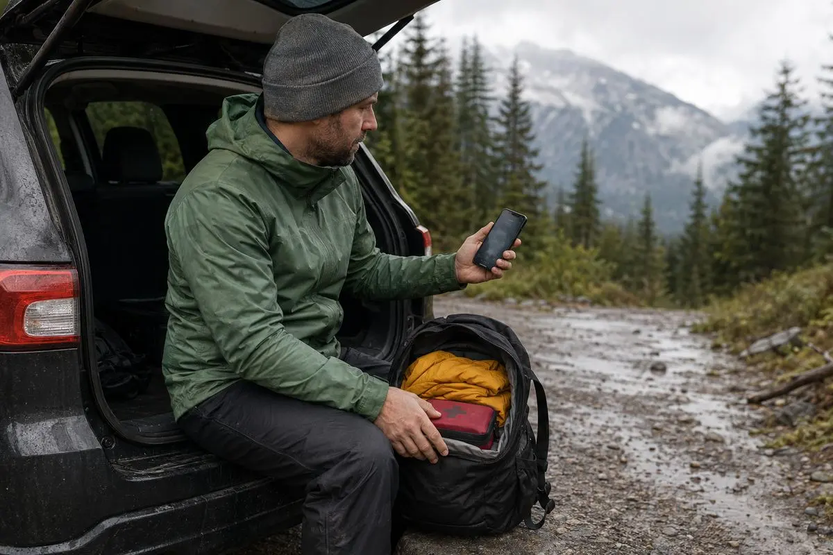
You have Friday off a campsite in mind and a hiking route saved on your phone. By Thursday evening the forecast shows rain. The access road may be affected. The trail report is less reassuring than the photos. The useful decision is not whether to force the itinerary but whether conditions support a safe, enjoyable and responsible version of the trip. Use one weekend in the Great Smoky Mountains as a planning thread. Let evidence-not optimism-determine where you go what you carry and when you turn around.
Start with a go, change or postpone decision
Give the trip three outcomes before leaving: go as planned go with a reduced objective or postpone. This prevents a reservation or long drive from pressuring you to continue after conditions change.
For the Friday-to-Sunday example compare the plan with your group's limits. A short low-elevation walk may remain reasonable in weather while a longer route with stream crossings, exposed sections or a late return may not. Ask whether everyone can manage the distance, surface and expected temperature. Ask whether the group has daylight and energy for an unplanned delay.
A simple rule helps: if the forecast, access information and trail report point in the direction follow that signal. If one critical detail is unknown investigate than guess.
Verify the trail not just the destination
A place name tells you little about conditions on the ground. Before setting out check the official land manager or park information for closures, construction, water hazards, fire restrictions and route-specific notices. Conditions can differ sharply between valleys, ridges and shaded slopes so a clear forecast at home does not confirm a path.
Look for reports of flooding, fallen trees, muddy or icy sections, damaged bridges, limited parking and route changes. If information is old, vague or contradictory choose a route with consequences if conditions deteriorate. A loop that can be shortened is often a wet-weather choice than an out-and-back with a fixed turnaround point.
Do not rely on a screenshot saved days earlier. Recheck conditions before departure and at the reliable information point. Official notices, ranger stations and posted signs take priority over an app's estimated completion time.
Treat weather as a changing set of conditions
A forecast is a planning input, not a guarantee. Rain can reduce visibility make rocks and roots slippery raise streams, cool wet clothing and extend travel time. Wind, heat, lightning and sudden temperature changes create hazards and may require another route or a complete postponement.
Set thresholds than relying on hope. You might decide that lightning near exposed terrain means no ridge travel rising water means no crossing or a soaked group will turn back before anyone becomes chilled. The threshold depends on the route, season, experience and available shelter. Consult official advisories before leaving, since requirements and safety guidance can change.
Tell someone outside the group where you are going what route you expect to use and when you plan to return. Update that person if the plan changes. Carry a charged phone. Do not treat coverage or battery life as guaranteed rescue arrangements.
Make access planning part of the itinerary
The trailhead is not the trip. Road conditions, seasonal gates, parking limits, shuttles, construction and local restrictions may determine whether the route is practical. In a mountain area such as the Great Smoky Mountains access deserves as much attention as weather: a delayed start can turn an easy plan into a late finish.
Check the route from home to the trailhead not the final destination. Allow time for a drive a full parking area or a required change in approach. If the trailhead is inaccessible know your backup before arriving: a nearby route, a viewpoint that does not require a long hike or a campsite-based day with no trail objective.
Rules for parking, fires, permits, camping, pets and food storage can change. Read guidance from the responsible agency obey closures and never use a backup that simply moves the same risk elsewhere.
Pack for the plan you may actually need
Packing should reflect conditions and consequences not the photograph. For a weekend that may mean waterproof layers, spare dry clothing protected inside a bag footwear suited to mud, extra food, a light source and basic first-aid supplies. In windy conditions, insulation and a way to keep it dry matter more than extra technical gadgets.
Use this compact pre-departure checklist:
– Current forecast, trail and access checks completed
– Route, turnaround point and backup plan shared with someone
– Water, food and clothing matched to delays and changed conditions
– Navigation backup available with phone battery conserved
– First-aid supplies, light and emergency layer packed
– Waste bags and reusable containers ready
– Current park or land-management rules reviewed
Pack for the least capable or most vulnerable person in the group. A child, new hiker, person managing a health condition or dog may change the distance and timing. That is a planning fact to respect, not a limitation to hide.
Leave the place better than the itinerary found it
Responsible planning includes the effects of a revised plan. A crowded backup trail is not automatically an alternative if extra foot traffic widens muddy paths or pushes people into fragile vegetation. Stay on surfaces keep groups compact carry out all waste and avoid informal campsites or shortcuts.
Leave No Trace guidance is practical here: plan dispose of waste properly respect wildlife and other visitors and reduce the need for emergency intervention through conservative choices. Follow restrictions for fires, food and sanitation which may change with conditions.
When Friday arrives the best outcome may be a hike, a later start or a postponed trip. The weekend succeeds when the group returns with its options, energy and respect, for the landscape not when an original route is completed at any cost.